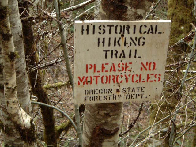
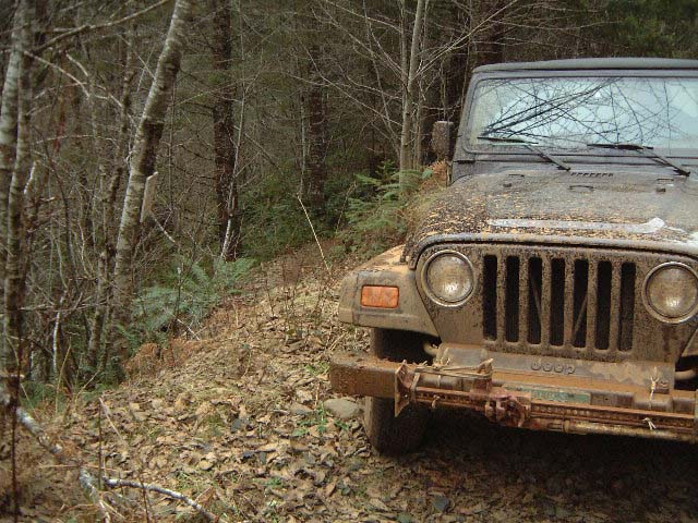
The Burn GeocacheWard CunninghamMike Zuhl January 7, 2001 Huge forest fires once ravaged Oregon's coastal mountains. Citizens replanted the burnt hillsides to form what is now Tillamook State Forest, the site of this, my first geocache. The forest is host to all manner of recreation, motorized and otherwise. I've taken to heading out that way to try my jeep driving skills on their rated four wheel drive trails. I am comfortable on beginner trails, and sometimes drive the intermediate ones, but you won't have to drive anything worse than gravel roads to find this cache.
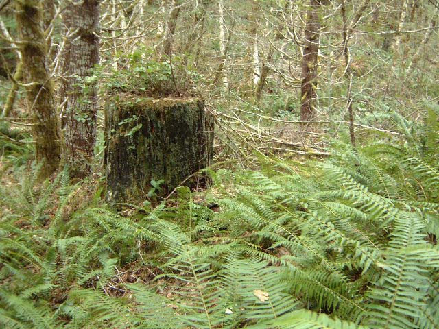
Here we parked to explore just a little bit of hiking trail that runs throughout the forest. We followed the foot trail along edge of a wooded meadow, the succession form a beaver pond. There we spotted the stump of a once grand old tree, a sight that would be hard to miss by anyone brought within 100 feet with the aid of their GPS.
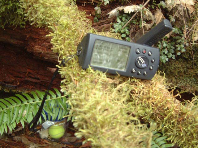
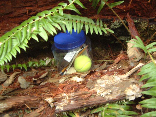
I had prepared my cache in a plastic jar before we left home. We retrieved it from the jeep and stashed it at the foot of the stump on the side opposite the trail. We let the Garmin GPSIII+ average for a few minutes then noted this location (WGS84).
West 123º 21' 49.9'' As is the custom, we left a notebook and some trinkets for trading with future stash hunters.
|